
Services

GIS and Geomatics
-
Automated Processing of Satellite Data and Remote Sensing
-
Advanced Spatial Analysis (QGIS) and High Resolution Thematic Mapping
-
Data Structuring, Harmonization and Governance
-
Interactive WebSIG Dashboards and Decision Support Tools

Hydrology and Basins
-
Hydrological Modeling (SWAT and airGR)
-
Watershed and Water Resources Management
-
Water Supply-Demand Balance (WEAP) and Quality Diagnosis
-
Water Erosion Mapping (InVEST), Anthropization and Sediment Transport
-
Location (Siting), Sizing and Environmental Impact of Water Reservoirs
Environment and Climate
-
Land Use Diagnosis, Biomass Monitoring and Deforestation Analysis
-
Calculation of Climate Anomalies and Projections (IPCC / DRIAS Scenarios)
-
Drought Vulnerability Assessment and Environmental Risk Diagnosis
-
Mapping of Ecosystems, Wetlands and Biodiversity (Zero Artificialization)
Portfolio
This portfolio presents a selection of projects developed by Spatia, as well as projects in which its founders have participated within the framework of their previous professional experiences.


Watershed Management
Water Harvesting Structures and Their Influence on Hydrological Variables in a Small Watershed in Corredor Seco of Nicaragua, Hydrological Modeling with SWAT

Deforestation
Analysis of the causes of deforestation and forest degradation in Nicaragua
Hydrological modeling and soil erosion
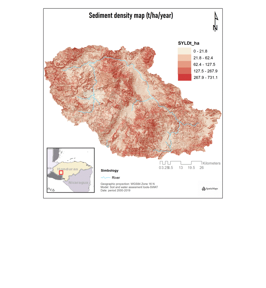
Watershed Delineation and Analysis of Hydrological Variables in Honduras: Water Erosion, Runoff, and Streamflow

Water Availability & Quality Assessment
Baseline Assessment of Water Resources, Seasonal Dynamics, and Water Quality in Nicaragua
Ecology and Climate Change
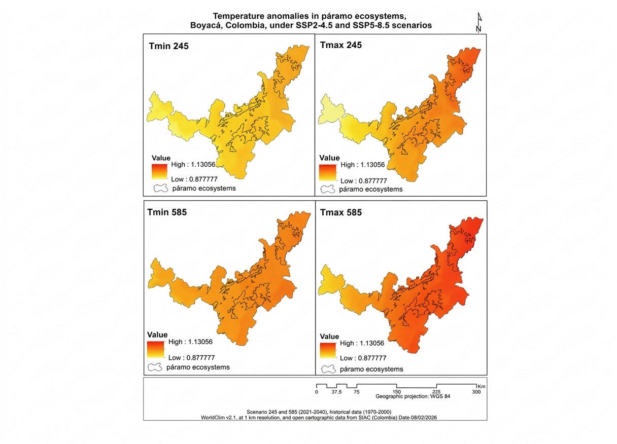
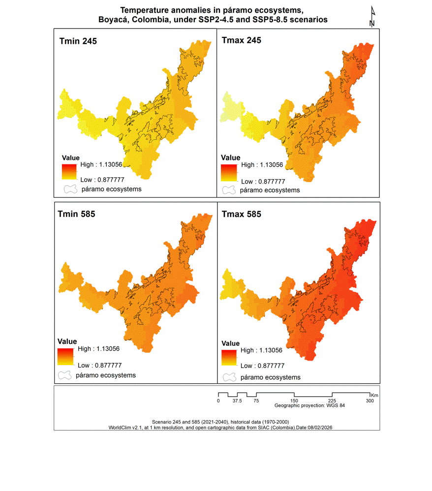
Calculation of climate anomalies on páramo ecosystems in Boyacá, Colombia

Protected Areas and Land Use Planning
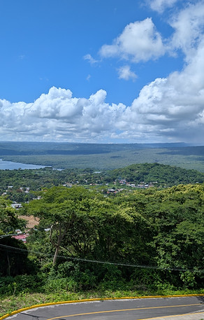
Geospatial delimitation of protected areas integrating environmental, territorial and regulatory criteria as support for territorial
Academic and Training Lectures:
-
GIS trainer at universities in Latin America
-
Member of thesis juries (undergraduate and postgraduate)
-
Technical training for public officials and independent professionals
-
.....
Full Portfolio
To respect confidentiality agreements and intellectual property rights, some maps and images featured here are illustrative reconstructions created by Spatia to demonstrate our methodology and results.